-
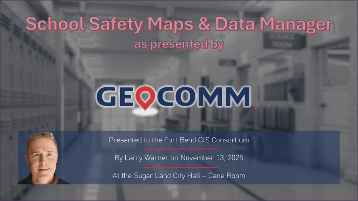
GeoComm talks School and Public Safety Solutions with Fort Bend GIS Consortium
Sugar Land City Hall – Cane Room, November 13, 2025 – The Fort Bend GIS Consortium (FBGISC) welcomed GeoComm as the featured presenter for the 2025 4th Quarter meeting. Represented by Mr. Larry Warner and supporting colleagues, GeoComm introduced members to their School Safety Mapping Solution, a modern, GIS-driven approach to improving situational awareness for…
-
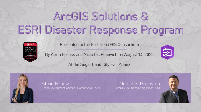
ESRI Presents ArcGIS Solutions to Fort Bend GIS Consortium
Sugar Land City Hall Annex, August 14, 2025 – Mrs. Abrin Brooks and Mr. Nicholas Popovich presented as representatives of ESRI on the ArcGIS Solutions platform and the ESRI Disaster Response Program to members of the Fort Bend GIS Consortium (FBGISC). ArcGIS Solutions are a collection of free, industry-specific configurations of ArcGIS that can be…
-

LJA Engineering presents to Fort Bend GIS Consortium
City of Sugar Land Regional Airport, May 15, 2025 – Mr. George Culver, Director of GIS at LJA Engineering (LJA) and the Industry Liaison to the Fort Bend GIS Consortium (FBGISC) presented to members and greater area partners on the leverage of GIS by LJA as the employee-owned company grew from 40 to over 2,000…
-
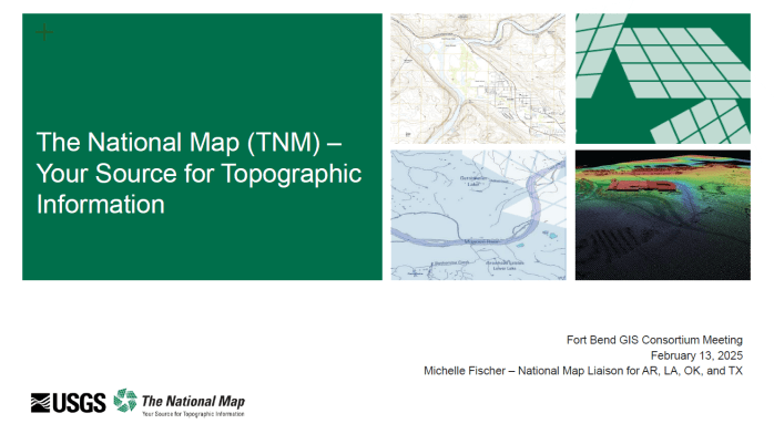
The National Map – USGS presents to FBGISC
City of Sugar Land – Council Chambers, February 13, 2025 – Ms. Michelle Fischer, National Map Liaison for AR, LA, OK, & TX at the U.S. Geological Survey (USGS) presented to the Fort Bend GIS Consortium on the wide variety of topographic information available through USGS’ National Map. Beyond the data itself, members were briefed…
-
City of Sugar Land Emergency Management & GIS
City of Sugar Land – Cane Room, August 20, 2024 – Ms. Caroline Egan, Assistant Emergency Management Coordinator of the City of Sugar Land (COSL), presented to the Fort Bend GIS Consortium and lead a round table discussion on emergency management planning and response. Members were lead through “blue skies1” preparation phases, the unique roles of GIS (as a…
